Moderate, 1,322 ft gain 9.5 mi Out and Back
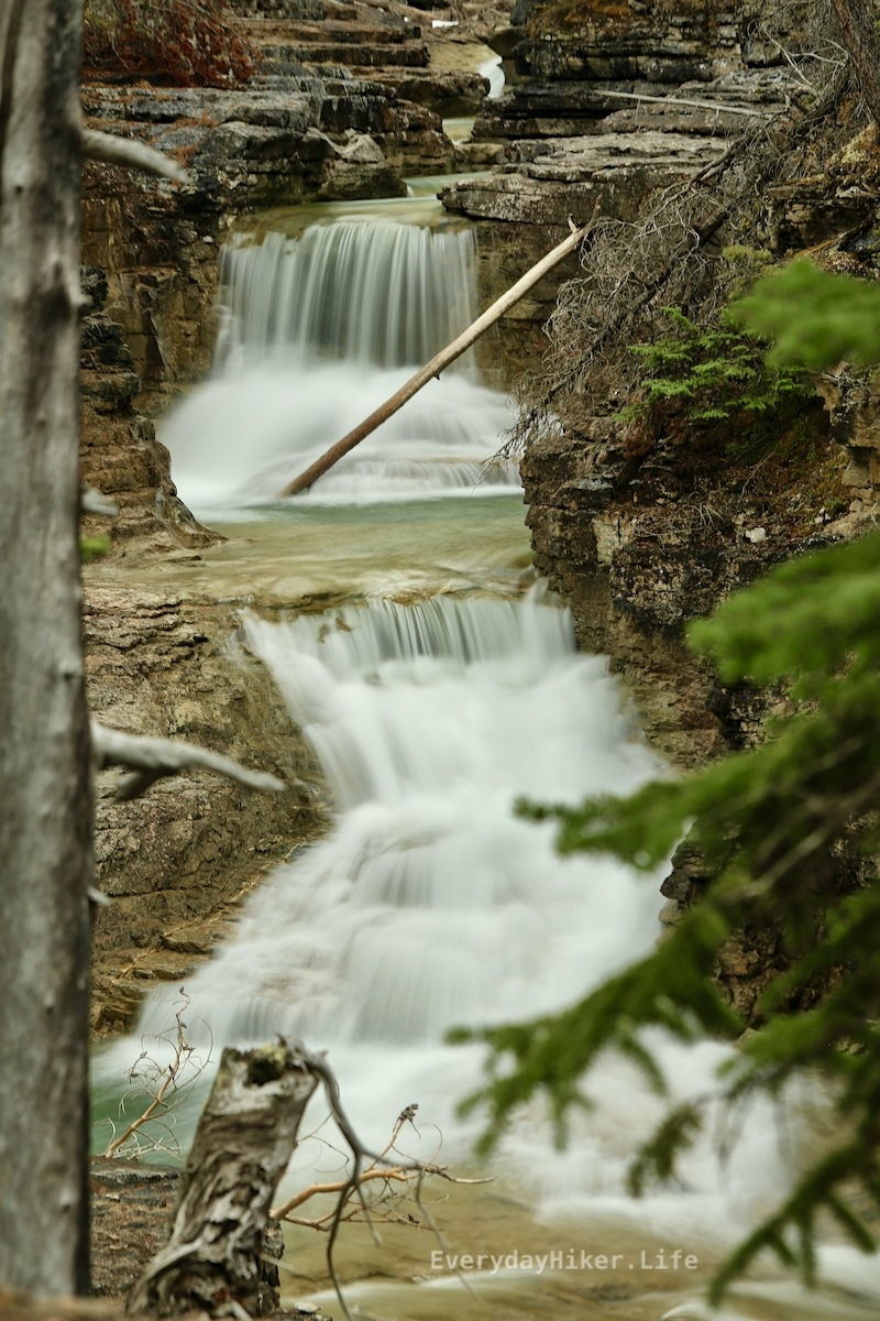
Extending beyond Siffleur falls for another 2.3 mi to the edge of the Siffleur Wilderness area, this trail add-on increases the difficulty and the trail degrades as you get closer to the wilderness area. More views of the various rapids and falls as well as a closer look at Elbe Peak. Rope section at the end to climb a degraded hill, but not too difficult. I believe another tenth of a mile from where I turned around is a small campsite as mentioned in yesterday’s comments.

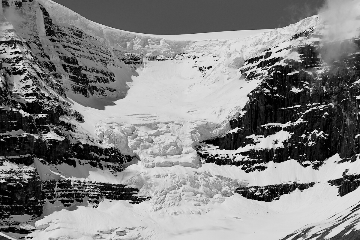
Elbe peak stabs its way upward while the Siffleur river flows through the canyon below.

The steep ridgeline of Elbe peak.
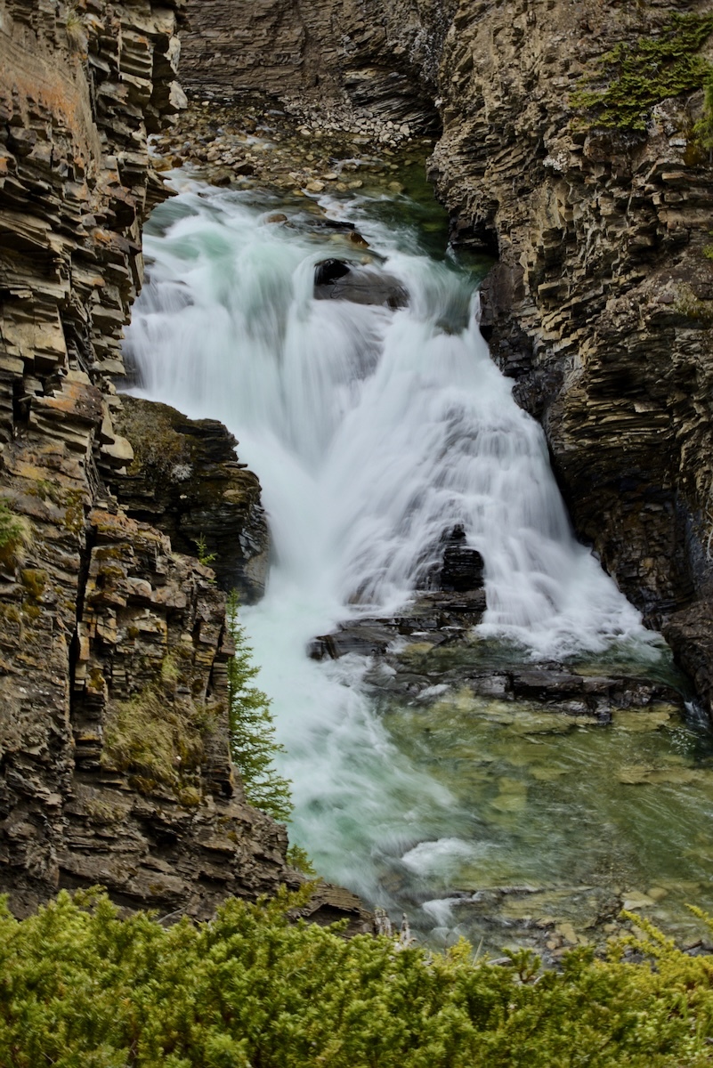
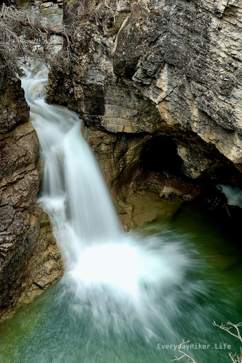
One of the better waterfalls beyond the main Siffleur falls, this is at the edge of the wilderness area and has another rapid out of frame below.